Area 15.78 km² | Intercommunality L'Orée de Chartres | |
 | ||
Clévilliers is a commune in the Eure-et-Loir department in northern France.
Map of 28300 Cl%C3%A9villiers, France
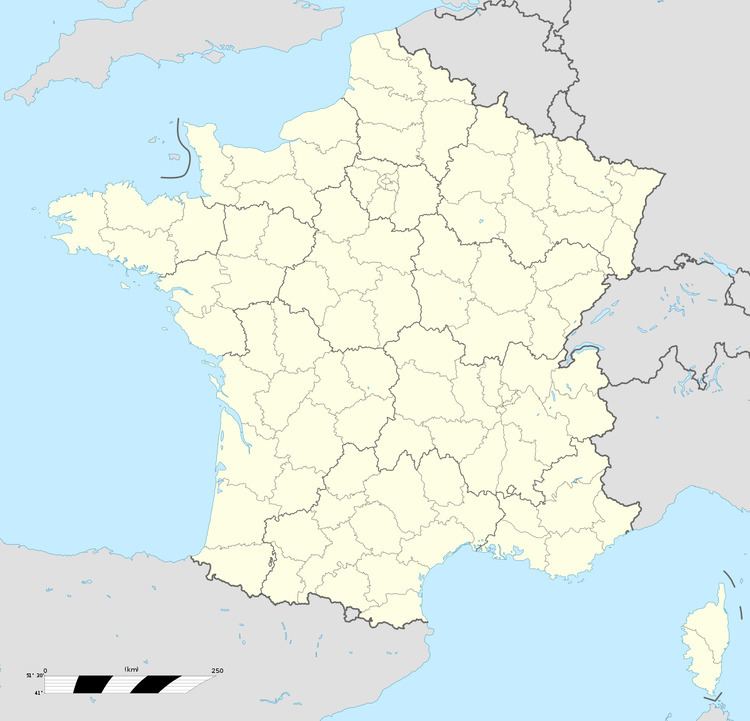
Clévilliers is located between the villages of Briconville, Challet and Dangers. It is located 13km north-west of Lucé. The Vacheresses stream runs through the village. Clévilliers is 23km from the Perche regional natural park.
References
Clévilliers Wikipedia(Text) CC BY-SA
