PIN 110 054 | Time zone IST (UTC+5:30) Lok Sabha constituency North Delhi | |
 | ||
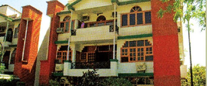
The Civil Lines is a noted residential area and subdivision of North Delhi District in the National Capital Territory of Delhi, India. It is one of the 12 zones under the Municipal Corporation of Delhi (MCD). It was the hub of European-style hotels in the city until New Delhi came into being in 1911.
Contents
Map of Civil Lines, New Delhi, Delhi
History
The name Civil Lines is a relic of British Raj times, when the city of Delhi was organized into separate areas where the British military and civilian buildings were located. Areas where civilians lived were demarcated as Civil Lines. One interesting monument of British Raj era is the Metcalfe House, Delhi. One of the earliest modern hotels in Delhi was the Maidens Hotel, later Oberoi Maidens, built in 1903. It was situated in the Civil Lines, where all European-style hotels were situated and the officers of British Raj stayed. Other hotels in the area were Swiss Hotel and Hotel Cecil, run by Robert Hotz family, which also owned Wildflower Hall and Cecil Hotel in Shimla. Hotel Cecil was later demolished and today St. Xavier's School stands on the location.
Raj Niwas, the official residence of the Lieutenant Governor of Delhi, the head of state of Delhi and National Capital Territory of Delhi, is located on Raj Niwas Marg in Civil Lines. A children's home run by Mother Teresa's Missionaries of Charity lies north of Qudsia Bagh in Civil Lines. Civil Lines is quite a big area consisting of various colonies and offices. One of the main colonies is Delhi Police Staff Quarters which is just behind the Civil Lines Police Station.
Civil Lines is connected to Delhi University North Campus. It is now a developing district. It includes areas like:
Surrounding areas
Transport
The Civil Lines underground station of the Delhi Metro services the area.
Restaurants
Hotels: 3/4 Star : Oberoi Maidens Hotel, Sham Nath Marg
