Demonym(s) Cividatesi Area 3 km² Postal code 25040 | Elevation 275 m (902 ft) Time zone CET (UTC+1) Local time Monday 8:38 AM | |
 | ||
Weather 7°C, Wind NE at 5 km/h, 75% Humidity | ||
Santo stefano cividate camuno
Cividate Camuno (Hiidà in local camunian dialect) is an Italian comune of 2,774 inhabitants (2011), in Val Camonica, province of Brescia, in Lombardy.
Contents
- Santo stefano cividate camuno
- Map of 25040 Cividate Camuno Province of Brescia Italy
- Cividate camuno bs 1960
- Geography
- History
- Main sights
- Culture
- People
- References
Map of 25040 Cividate Camuno Province of Brescia, Italy
Cividate camuno bs 1960
Geography
The territory of Cividate Camuno is bordered by several municipalities: to the east Bienno, on the north Breno and Malegno, to the west Piancogno, and south Esine and Berzo Inferiore.
History
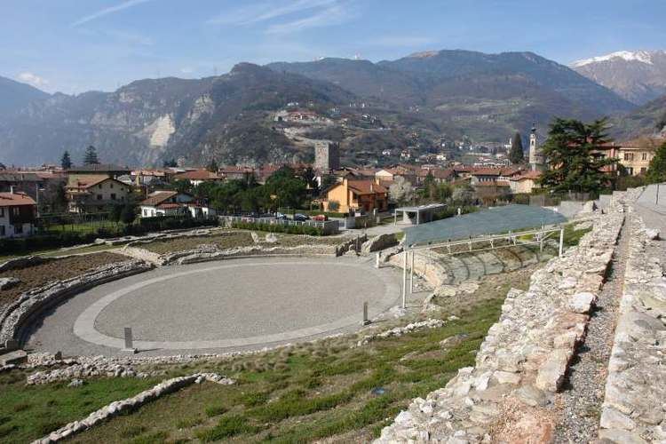
Originally a Roman town, the Civitas Camunnorum, Cividate Camuno was known as Civethate in the medieval period.
Between 1863 and 1887 Cividate assumed the name "Cividate Alpino", but because of bureaucratic confusion, in 1887 the village re-took the name "Cividate Camuno" .
Main sights
The main tourist sights of Cividate Camuno are:
Culture
The scütüm are in camunian dialect nicknames, sometimes personal, elsewhere showing the characteristic features of a community. The one which characterize the people of Cividate Camuno is Pàtate, Bö or Maia Hüche.
