
Type Road Route number(s) A36 | Length 1 km (0.6 mi) Major cities Sydney | |
 | ||
Maintained by Roads & Maritime Services North end Parramatta Road (A22), Glebe / Broadway (A22), Glebe | ||
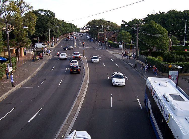
The City Road is a busy 1-kilometre (0.62 mi) thoroughfare located in Sydney, New South Wales, Australia. City Road runs south from a junction with Broadway and Parramatta Road, through the University of Sydney and becomes King Street as it enters the suburb of Newtown.
Contents
Map of City Rd, New South Wales, Australia
The City Road carries the A36 shield, and is crossed by a 34-metre (112 ft) pedestrian footbridge that was opened in 2008 and the subject of an international design competition won by John Wardle Architects.
History and description
The road was originally the beginning of the main route leading from Sydney to Wollongong and points south, known as the Princes Highway. Although short, it still functions today as the main connection between the city centre and inner-western suburbs such as Newtown, Marrickville and Canterbury. Passing by Victoria Park and the leafy University of Sydney campus, the road is somewhat more picturesque than most metropolitan roads.
City Road was formerly served by a busy electric tram service until the late 1950s when it was replaced by motor bus services. Sydney Buses routes 352, 370, 422, 423, 426 and 428 now run along City Road.