
 | ||
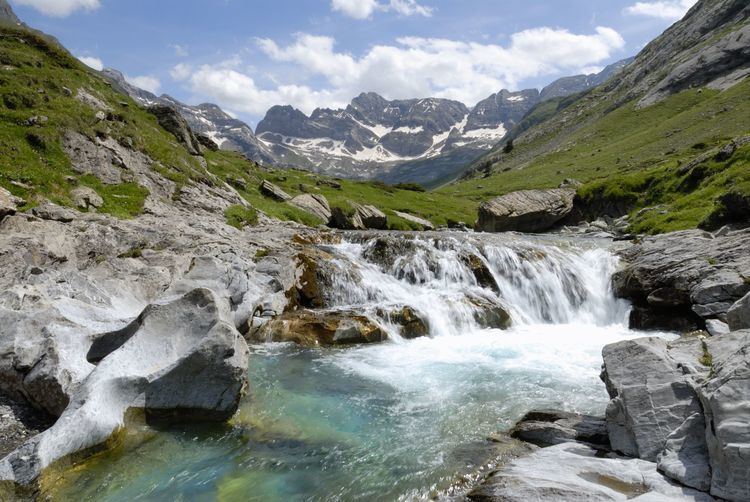
The Cirque d'Estaubé is a cirque in the central Pyrenees in the Pyrenees National Park, forming the frontier between France and Spain. The cirque lies 4 km to the east of its better known neighbour, the Cirque de Gavarnie, which is accessible via the Hourquette d'Alans (2,430 m); the Marboré valley is reached via the Brèche de Tuquerouye (Tuca Arroja) (2,666 m), where there is a small CAF hut.
Contents
Map of Cirque d'Estaub%C3%A9, 65120 G%C3%A8dre, France
The Gave d'Estaubé descends north from the cirque, first flowing into a small reservoir, the Barrage des Gloriettes (1,668 m), then into the main Héas valley.
Principal summits
References
Cirque d'Estaubé Wikipedia(Text) CC BY-SA