
Demonym(s) Cinctorrà Elevation 907 m Population 454 (2014) | Judicial district Vinaròs Time zone CET (UTC+1) Area 34.9 km² Local time Saturday 9:15 PM | |
 | ||
Weather 4°C, Wind NW at 10 km/h, 62% Humidity | ||
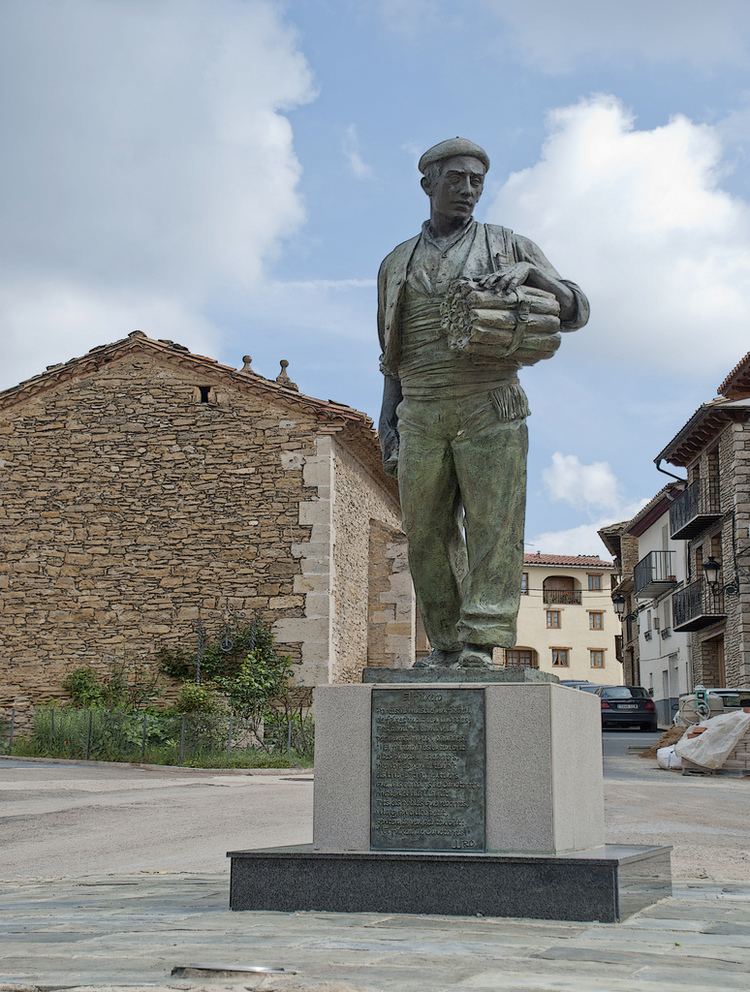
Cinctorres is a town in the province of Castellón, Valencian Community, Spain, pertaining to the region of the Ports of Morella. As of 2009, it has 498 inhabitants.
Contents
Map of 12318 Cinctorres, Castell%C3%B3n, Spain
Geography
The municipality is located in a small plateau between Monte Bovalar and the valley of Caldes river. Thanks to its position, the city offers spectacular landscaping views. It is not uncommon to see the flight of vultures, which nest in the environs of the nearby rocks.
Bordering towns
Todolella, La Mata de Morella, Portell de Morella, Castellfort, Morella and Forcall, all in the province of Castellón.
Main sights
Economy
The main economic activity, like in other neighbouring localities, is the cattle ranch, in particular pig cattle. In the last few years, due to the growing importance acquired by the interior tourism, there has been an increase of rural lodgings, as a complement to the agrarian activity. Construction and service companies are also growing in importance.