Prominence 723 m | Elevation 2,805 m Mountain range Lepontine Alps | |
 | ||
People also search for Fil de Dragiva, Piz Pian Grand | ||
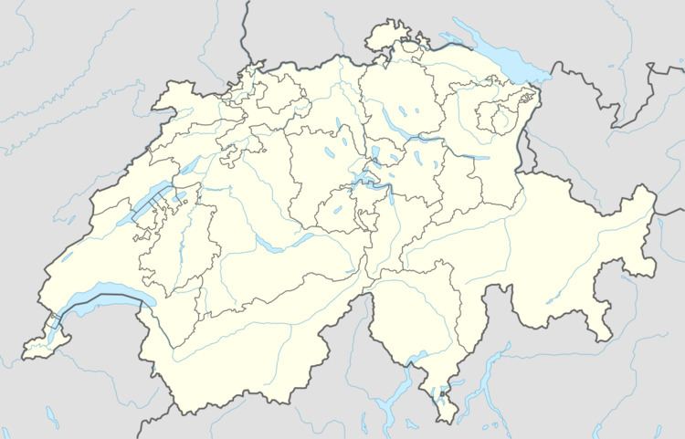
Cima de Gagela is a mountain of the Lepontine Alps, located between the Val Calanca and the Mesolcina, in the canton of Graubünden. With a height of 2,805 metres above sea level, it is the highest summit of the range located south of Pass di Passit (2,082 metres). The mountain lies approximately halfway between Rossa and Mesocco.
Map of Cima de Gagela, 6562 Mesocco, Switzerland
References
Cima de Gagela Wikipedia(Text) CC BY-SA
