
Prominence 236 m | Elevation 3,161 m Mountain range Lepontine Alps | |
 | ||
Similar Vogelberg, Zapporthorn, Torent Alto, Güferhorn, Piz Blas | ||
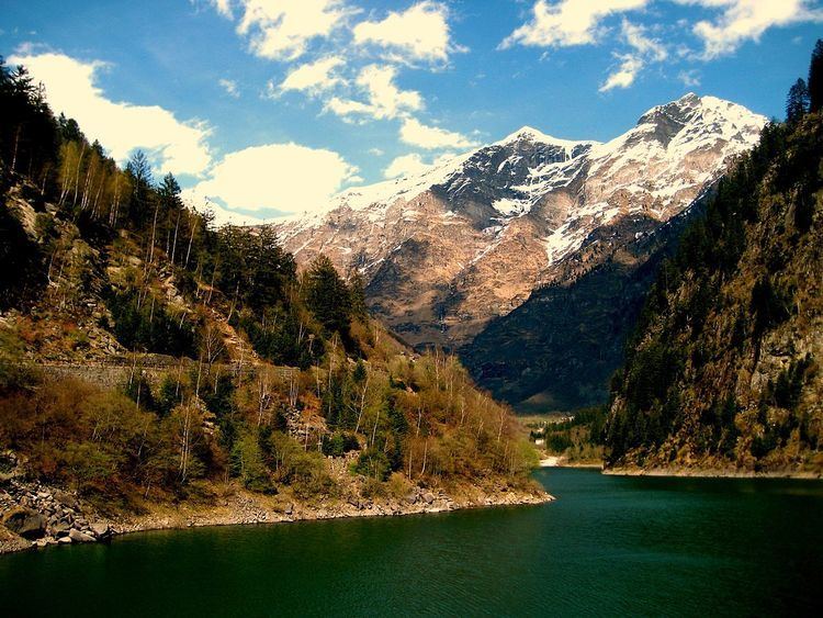
Cima Rossa is a 3,161 metres high mountain in the Lepontine Alps, located on the border between the cantons of Ticino and Graubünden. On the west side it overlooks the valley of Malvaglia (Ticino) and on the east side it overlooks the valley of Calanca (Graubünden).
Map of Cima Rossa, 6713 Malvaglia, Switzerland
Cima Rossa is connected to the higher massif of the Vogelberg by a four km ridge, not descending lower than 2,925 metres. A secondary summit (3,121 metres) named Piz Piotta lies north of the summit of Cima Rossa. A small glacier lies between them on the west flanks, named Ghiacciaio di Piotta.
References
Cima Rossa Wikipedia(Text) CC BY-SA