
Topo map USGS Ciervo Mountain Country United States of America | Elevation 1,027 m | |
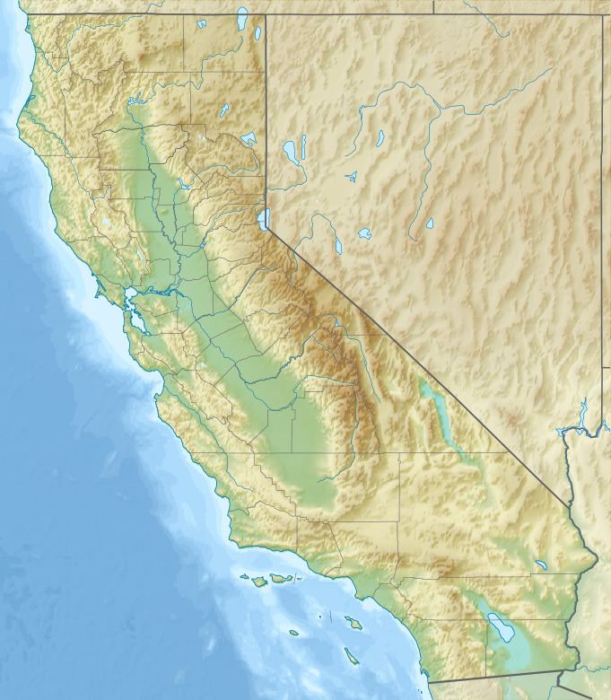 | ||
The Ciervo Hills are a low mountain range in west Fresno County, in the western San Joaquin Valley of central California.
Contents
Map of Ciervo Hills, California, USA
Interstate 5 runs parallel to the hills on the east.
GeographyEdit
The Ciervo Hills are in the Southern Inner California Coast Ranges System, adjacent to the Diablo Range on the west. Their highest point is 1,027 metres (3,369 ft) in elevation.
Cantua Creek and its Arroyo de Cantúa canyon divides them from the Big Blue Hills.
References
Ciervo Hills Wikipedia(Text) CC BY-SA