
Country Indonesia Area 3,840 km² Population 2.335 million (2014) Area code 0263 | Time zone WIB (UTC+7) Province West Java Capital Cianjur, Cianjur Regency | |
 | ||
Points of interest Nusantara Flower Garden, Puncak, Cibodas Botanical Garden, Mount Gede, Gunung Padang Megalithi | ||
Cianjur Regency is a regency (kabupaten) of West Java, Indonesia. The area of the regency is 3,840.16 km2 and its population at the 2010 Census was 2,171,281; the latest official estimate (as at January 2014) is 2,335,024. The town of Cianjur is its capital.
Contents
Map of Cianjur Regency, West Java, Indonesia
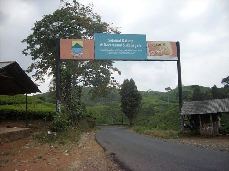
Administrative Districts
Cianjur Regency is divided into 32 districts (kecamatan), listed below with their populations at the 2010 Census.
Mount Padang
A terracing structure, although local people mention it as a pyramid, lies on Mount Padang, 31 kilometer from Cianjur through Warung Kondang. It is the biggest Megalithic Site in Southeast Asia.
References
Cianjur Regency Wikipedia(Text) CC BY-SA