
Founded 22 October 1818 Website Official website Area 73 km² Local time Monday 4:28 AM Founder José Cayetano Vásquez | Founded by José Cayetano Vasquez Elevation 2,460 m Population 4,754 (2015) | |
 | ||
Time zone Colombia Standard Time (UTC-5) Weather 12°C, Wind W at 3 km/h, 95% Humidity | ||
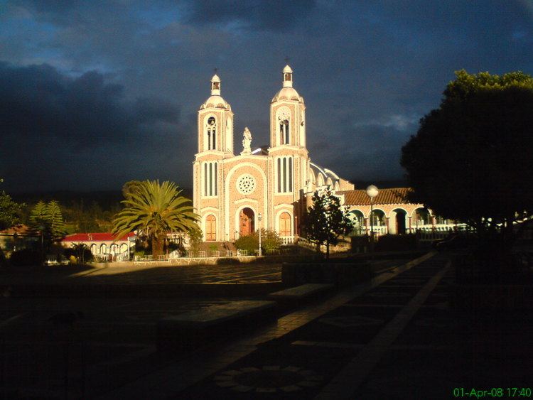
Ciénega ([ˈsjeneɣa]) is a municipality in the Márquez Province, part of Boyacá Department, Colombia. The urban centre of Ciénega is situated on the Altiplano Cundiboyacense at a distance of 27 kilometres (17 mi) from the department capital Tunja at an altitude of 2,460 metres (8,070 ft). The altitude ranges within the municipality from 2,200 metres (7,200 ft) to 3,400 metres (11,200 ft). The municipality borders Viracachá and Soracá in the north, Rondón in the east and south and Ramiriquí in the south and west.
Contents
Map of Ci%C3%A9nega, Boyac%C3%A1, Colombia
Etymology
The name Ciénega comes from Chibcha and means "Place of water".
History
The area around Ciénega in the times before the Spanish conquest was part of the Muisca Confederation, a loose confederation of different rulers of the Muisca. Ciénega was ruled by the zaque based in Hunza. On his way to the legendary El Dorado, conquistador Gonzalo Jiménez de Quesada passed through Ciénega.
Modern Ciénega was founded on October 22, 1818 by José Cayetano Vasquez, son of the owner of the main hacienda in the village.
Economy
Main economical activities of Ciénega are livestock farming (66 %) and agriculture (31 %). Among the agricultural products cultivated are potatoes, maize, peas and arracacha, tree tomato and uchuva.