
Country United States FIPS code 30-01550 Area code 406 | Time zone Mountain (MST) (UTC-7) Population 902 (2010) | |
 | ||
Area 9.324 km² (9.324 km² Land / 9.324 km² Water) | ||
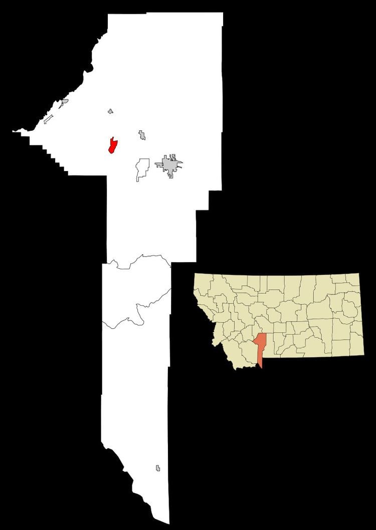
Churchill is a census-designated place (CDP) in Gallatin County, Montana, United States. The population was 902 at the 2010 census. It is part of the Bozeman, MT Micropolitan Statistical Area. It was formerly part of the Amsterdam-Churchill CDP.
Contents
Geography
Churchill is located at 45°45′00″N 111°18′37″W (45.749951, -111.310256).
According to the United States Census Bureau, the CDP has a total area of 3.6 square miles (9.3 km2), all of it land.
History
Church Hill, or Churchill as it was later shortened by Gallatin County Road Department, is located a mile away- to the east of Amsterdam on a prominent hill. Churchill is the site of the Dutch community's original church- the 1st Christian Reformed Church, today known as Manhattan Christian Reformed Church; and related parent-operated private P-12 school, Manhattan Christian School. The large church on the hill is the probable origin of the name. Not to be outdone, The Milwaukee Road Railway designated the other side of "the hill" as Holland, and made a siding for agricultural goods on its railway about two miles to the east, designating it as the Holland Siding.