
Area 330 km² | Time zone EET (UTC+2) Population 2,285 (Dec 2009) | |
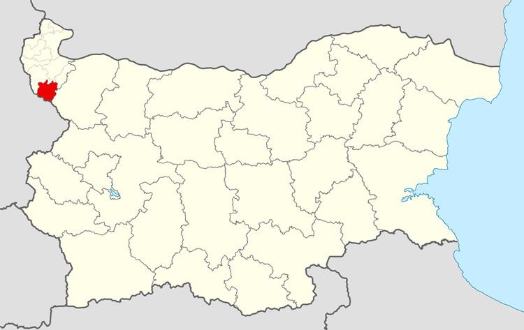 | ||
Chuprene Municipality (Bulgarian: Община Чупрене) is a frontier municipality (obshtina) in Vidin Province, Northwestern Bulgaria, located in the vicinity of the western parts of Stara Planina range in the so-called Fore-Balkan area. It is named after its administrative centre - the village of Chuprene. In the southwest, the municipality borders on Republic of Serbia.
Contents
Map of Chuprene, Bulgaria
The area embraces a territory of 330 km² with a population of 2,285 inhabitants, as of December 2009.
Midzhur peak (2,168 m (7,116 ft)), the highest point of the western Balkan mountains, is located in the municipality almost on the very border with Serbia.
Settlements
Chuprene Municipality includes the following 9 places all of them villages:
Demography
The following table shows the change of the population during the last four decades.