
Time zone IST (UTC+5:30) Website nagaland.gov.in | Vehicle registration NL Local time Tuesday 5:33 AM | |
 | ||
Weather 17°C, Wind S at 5 km/h, 95% Humidity | ||
Aerial shots of chungtia village nagaland captured with dji phantom 4
Chungtia is an Ao village in Nagaland, India. It is 16 km north-west of Mokokchung. The Mokokchung-Mariani Highway passes through its eastern corner. It is located at an altitude of 1,335 ft above sea level.
Contents
- Aerial shots of chungtia village nagaland captured with dji phantom 4
- Map of Chungtia Nagaland
- References
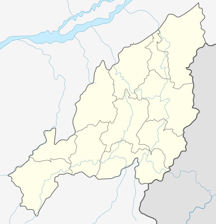
Map of Chungtia, Nagaland
The suburb of Sabangya and the Aliba village form a continuous settlement area along with Chungtia. According to Dr.E.W.Clark's accounts, when he first set foot in Mulong village in 1872, Mulong, which was under the protectorate of Chungtia, had to seek permission from the latter for his stay which was promptly allowed by Chungtia. Subsequently, he went on to spread Christianity all over Nagaland.
The cultural festivities of the Ao Naga, Moatsu and Tsungremong, are celebrated by the villagers.
In the local memory, it enjoys some honour as one of the few Ao villages that has never been defeated; even today Chungtias recall their head hunting days with pride. Today, the stories of those brave warriors circulate through folk songs, dances and stories. While you are there, you may also enjoy glimpse of its past while visiting the Log Drum situated on a hill top.