
Country United States ZIP code 36521 Elevation 37 m Local time Monday 5:29 PM | Time zone Central (CST) (UTC-6) Area code(s) 251 Area 4.696 km² Population 210 (2010) | |
 | ||
Weather 21°C, Wind SE at 24 km/h, 66% Humidity | ||
How to say or pronounce usa cities chunchula alabama
Chunchula is an unincorporated community and census-designated place in Mobile County, Alabama, United States. As of the 2010 census, its population was 210. It has a post office with the 36521 ZIP code. The community has one site listed on the Alabama Register of Landmarks and Heritage, the Chunchula School.
Contents
- How to say or pronounce usa cities chunchula alabama
- Map of Chunchula AL 36521 USA
- Demographics
- Geography
- References
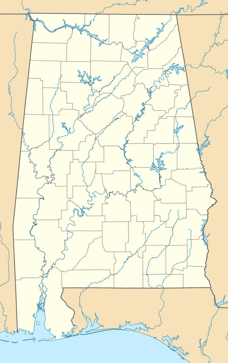
Map of Chunchula, AL 36521, USA
Demographics
Chunchula was listed on the 1880 and 1890 U.S. Censuses as a village. It did not reappear on the U.S. Census until 2010 as a census-designated place or CDP.
Geography
Chunchula is located at 30.92185°N 88.20055°W / 30.92185; -88.20055 and has an elevation of 121 feet (37 m).
References
Chunchula, Alabama Wikipedia(Text) CC BY-SA