
Country Thailand Capital Chumphon | Area 6,009.0 km2 Population 498,294 | |
 | ||
Map of Chumphon Province
Chumphon (Thai: ชุมพร, [t͡ɕʰūm.pʰɔ̄ːn]) is one of the southern provinces (changwat) of Thailand on the Gulf of Thailand. Neighbouring provinces are Prachuap Khiri Khan, Surat Thani, and Ranong. To the west it also borders the Burmese province of Tanintharyi.
Contents
- Map of Chumphon Province
- Chumphon province south thailand
- Geography
- History
- Etymology
- Symbols
- Administrative divisions
- Economy
- Tourism
- References
Chumphon province south thailand
Geography
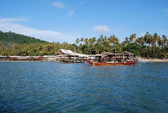
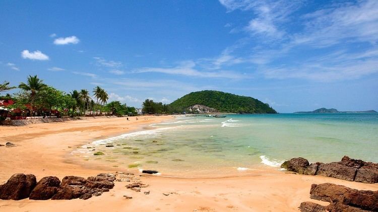
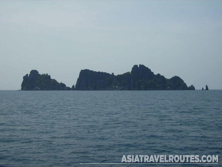
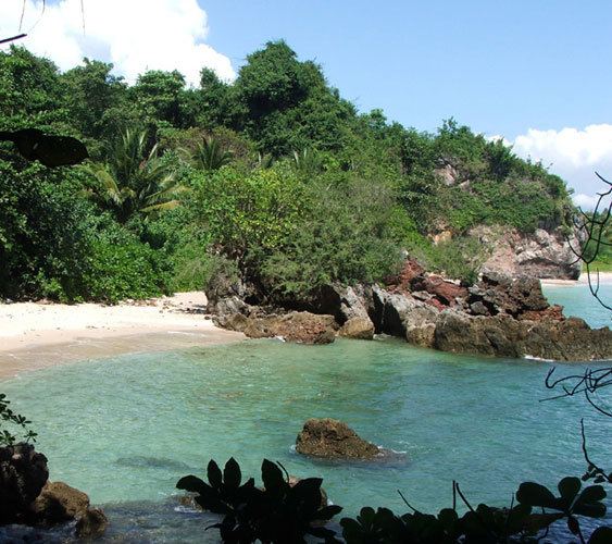
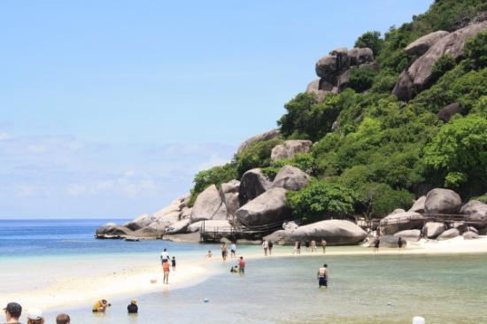
Chumphon is on the Isthmus of Kra, the narrow landbridge connecting the Malay Peninsula with the mainland of Thailand. To the west are the hills of the Phuket mountain range and its northern continuation, the Tenasserim Hills, while the east is the more flat land on the coast of the Gulf of Thailand. The main river is the Lang Suan River, which originates in Phato District. With a 222 kilometre-long coastline and 44 islands, the Chumphon Archipelago, Chumphon has waterfalls, peaceful beaches, green forests, mangroves, and rivers.
History
The southern part of the province was originally a separate province named Lang Suan. It was incorporated into Chumphon in 1932.
In November 1989 typhoon Gay hit the province hard. 529 people were killed, 160,000 became homeless, 7,130 km2 (2,753 sq mi) of farm land was destroyed. Gay is the only tropical storm on record which reached Thailand with typhoon wind strength.
Today, Chumphon Province is a destination centre for massive human trafficking of Rohingyas from nearby Burma (Myanmar).
Etymology
There are two different theories on the origin of the name Chumphon. According to one, it originates from Chumnumporn (lit., accumulation of forces) which derives from the fact that Chumphon was a frontier city. Another theory claims the name derives from a local tree named Maduea Chumphon (มะเดื่อชุมพร, Ficus glomerata), found abundant in the province.
Symbols
The provincial seal shows a fortune-bringing thevada on a lotus-pedestal, flanked by two ficus trees. In the background a fort and two watchtowers are visible, a reference to the former camp where courageous warriors from the province gathered before going into battle against the enemy.
The provincial flower is the Indian shot (Canna indica), and the finger banana is another provincial symbol.
Administrative divisions
Chumphon is divided into eight districts (amphoe). These are further subdivided into 70 sub-districts (tambon) and 674 villages (muban). Chumphon and Lang Suan are the two towns (thesaban mueang), there are a further 12 sub-district municipalities (thesaban tambon).
Economy
The coffee-growing valley of Ban Panwal in Tha Sae District includes 178,283 rai of robusta coffee plantations. It produces more than 24 million tonnes a year. Chumphon Province contributes 60 percent of Thailand's total coffee production. Local brands include Thamsing, ST Chumphon and Khao Tha-Lu Chumporn.
Tourism
In the first 11 months of 2015, Chumphon arrivals grew by 17 percent to 1.86 million and tourism revenue by 21 percent to 7.55 billion baht. Average hotel occupancy rose to 65 percent from 53 percent in 2014. Arrivals are expected to grow by 17 percent in 2016.
Transport Air Chumphon Airport is 30 km north of Chumphon city in Pathio District. It has direct daily flights to Bangkok's Don Mueang Airport (DMK). Flights from Bangkok are around 60 minutes.
Nok Air operates two daily flights between Bangkok (Don Mueang, DMK) and Chumphon Airport (CJM). The airport has transit agents for onward travel to Chumphon and the islands of the Gulf of Thailand including Ko Tao, Ko Pha Ngan, and Ko Samui.