
Country Mexico Elevation 420 m (1,380 ft) Lowest elevation 100 m (300 ft) Area 36.19 km² Area code 784 | State Veracruz Highest elevation 500 m (1,600 ft) Time zone CST (UTC-6) Population 3,889 (2010) | |
 | ||
Carrera de burros en chumatlan ver
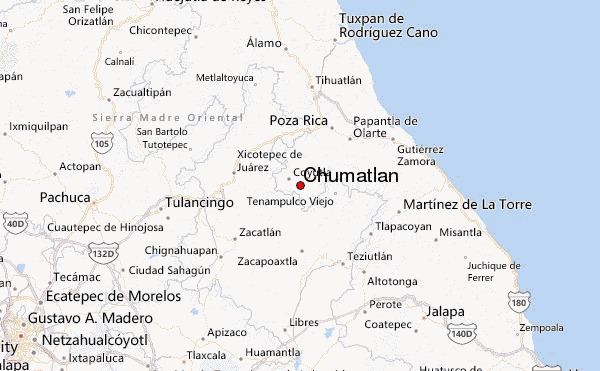
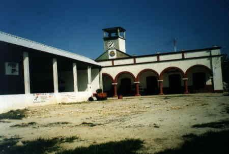
Chumatlan is a municipality in Veracruz, Mexico. It is located in the middle of the state, about 105 km from state capital Xalapa. It has a surface of 36.19 km2. It is located at 20°12′N 97°36′W.
Contents
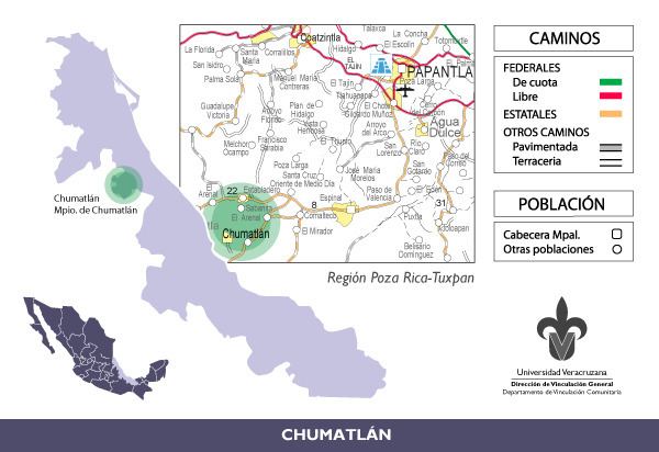
The municipality is delimited to the north by Coyutla, to the north-east by Espinal, to the south-west by Mecatlán and to the east by Coxquihui.
It produces principally maize, beans and coffee.
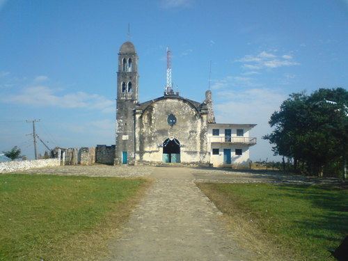
A celebration in honor to Virgen de la Natividad, patron of the town, takes place in September.
The weather in Chumatlan is warm all year with rains in summer.
De chumatlan pa panuco

References
Chumatlan Wikipedia(Text) CC BY-SA