
Country Thailand Time zone THA (UTC+7) Geocode 4005 Province Khon Kaen Province | Seat Chum Phae Postal code 40130 Area 510.9 km² | |
 | ||
University Chumphae Industrial and Community Education College | ||
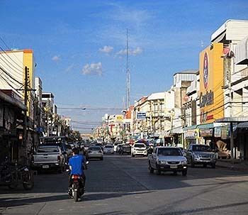
Chum Phae (Thai: ชุมแพ, [t͡ɕʰūm pʰɛ̄ː]) is a district (Amphoe) of Khon Kaen Province, northeastern Thailand.
Contents
Map of Chum Phae District, Khon Kaen, Thailand
History
The area was occupied since prehistoric times. The ruins of the town Non Mueang date from the Dvaravati times.
The establishment of the district was announced in the royal gazette issued on August 3, 1943, originally comprising the tambon Chum Phae, Si Suk, Non Han and Khua Riang, which were later divided into 10 tambon.
In 1965 the northeast of the district was split off to form Si Chomphu district, in 1981 the west of the district formed the district Phu Pha Man.
Geography
Neighboring districts are (from the north clockwise) Phu Kradueng of Loei Province, Si Chomphu, Wiang Kao, Phu Wiang and Nong Ruea of Khon Kaen Province, Ban Thaen, Phu Khiao and Khon San of Chaiyaphum Province, and Phu Pha Man of Khon Kaen again.
Administration
The district is subdivided into 12 subdistricts (tambon), which are further subdivided into 142 villages (muban). Chum Phae is a town (thesaban mueang) which covers parts of the tambon Chum Phae, Nong Pai and Chai So. There are further two townships (thesaban tambon) - Non Han covers parts of the tambon Non Han and Non Sa-at, and Khok Sung Sam Phanat covers parts of the tambon Non Udom and Khua Riang. There are further 12 Tambon administrative organizations (TAO).