
Country Thailand Time zone THA (UTC+7) Geocode 4413 Population 24,586 (2005) | Seat Chuen Chom Postal code 44160 Area 113 km² Province Maha Sarakham Province | |
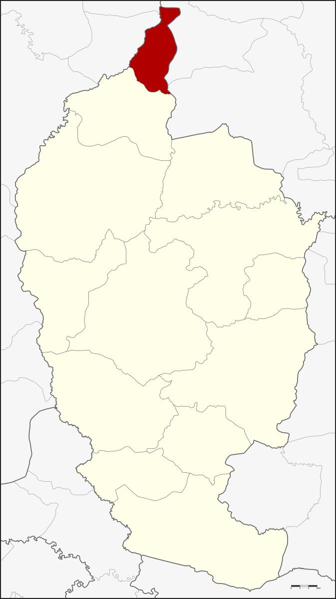 | ||
Chuen Chom (Thai: ชื่นชม) is a district (Amphoe) in the north of Maha Sarakham Province, northeastern Thailand.
Contents
Map of Chuen Chom District, Maha Sarakham, Thailand
Geography
Neighboring districts are (from the south clockwise) Chiang Yuen of Maha Sarakham Province, Sam Sung and Kranuan of Khon Kaen Province, Huai Mek and Yang Talat of Kalasin Province.
History
The minor district (King Amphoe) was split off from Chiang Yuen district on July 1, 1997.
Following a decision of the Thai government on May 15, 2007, all of the 81 minor districts were to be upgraded to full districts. With the publishing in the Royal Gazette on August 24 the upgrade became official.
Administration
The district is subdivided into 4 subdistricts (tambon), which are further subdivided into 47 villages (muban). There are no municipal (thesaban) areas, and 4 Tambon administrative organizations (TAO).