
Elevation 1,422 m | ||
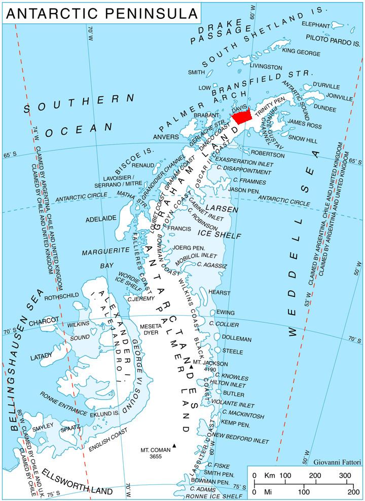 | ||
Chubra Peak (Bulgarian: връх Чубра, ‘Vrah Chubra’ \'vr&h 'chu-bra) is the peak rising to 1422 m east of Temple Glacier and south of Kasabova Glacier in Korten Ridge on Davis Coast in Graham Land, Antarctic.
Contents
Map of Chubra Peak, Antarctica
The peak is named after the settlement of Chubra in eastern Bulgaria.
Location
Chubra Peak is located at 63°58′13″S 59°54′52″W, which is 2.6 km southeast of the head of Lanchester Bay, 6.9 km south-southeast of Milkov Point and 6.1 km southwest of Sredorek Peak. German-British mapping in 1996.
Map
References
Chubra Peak Wikipedia(Text) CC BY-SA