
OS grid reference NS67SE60 Sovereign state United Kingdom Postcode district G69 Local time Monday 8:44 PM | Post town GLASGOW | |
 | ||
Weather 5°C, Wind W at 8 km/h, 85% Humidity Lieutenancy areas North Lanarkshire, Lanarkshire | ||
Chryston is a village in North Lanarkshire, in the west Central Lowlands of Scotland. Founded by James Burns Pollock, It is north of the main trunk road between Glasgow and Stirling (A80).
Map of Chryston, Glasgow, UK
The village lies north of Muirhead, 7 miles (11 km) east of Glasgow – the exact boundary between the two villages is difficult to find. Geographically, Moodiesburn is often included in the Chryston district: Devro headquarters has Chryston as its official address, and Moodiesburn's Stoneyetts Hospital (originally part of East Muckcroft within the "Woodilee Estate") was sometimes listed under Chryston. As with Muirhead, children born of Moodiesburn citizens have Chryston as their birth district on their birth certificate.
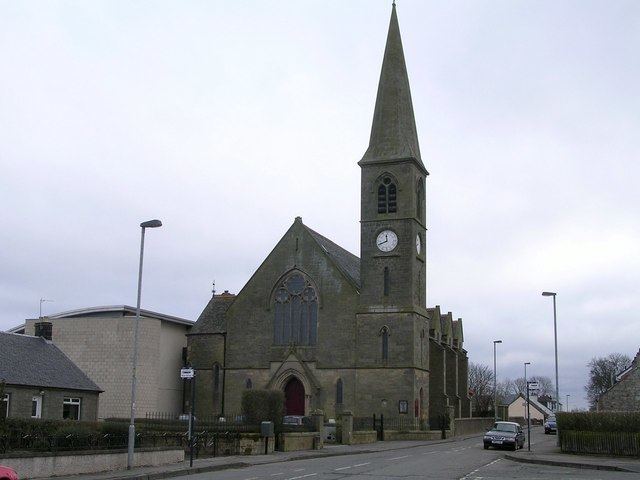
Chryston Parish Church serves the villages of Chryston, Moodiesburn and Muirhead and has churches in Chryston and Moodiesburn.
On Friday 18 September, 1959, 47 miners lost their lives in the Auchengeich mining disaster at nearby Auchengeich Colliery.
Chryston High School is a six-year non-denominational secondary school situated on Lindsaybeg Road.