
Established 26 April 2013 Time zone ACST (UTC+9:30) Postal code 5341 | Postcode(s) 5341 LGA(s) Unincorporated Area Founded 26 April 2013 | |
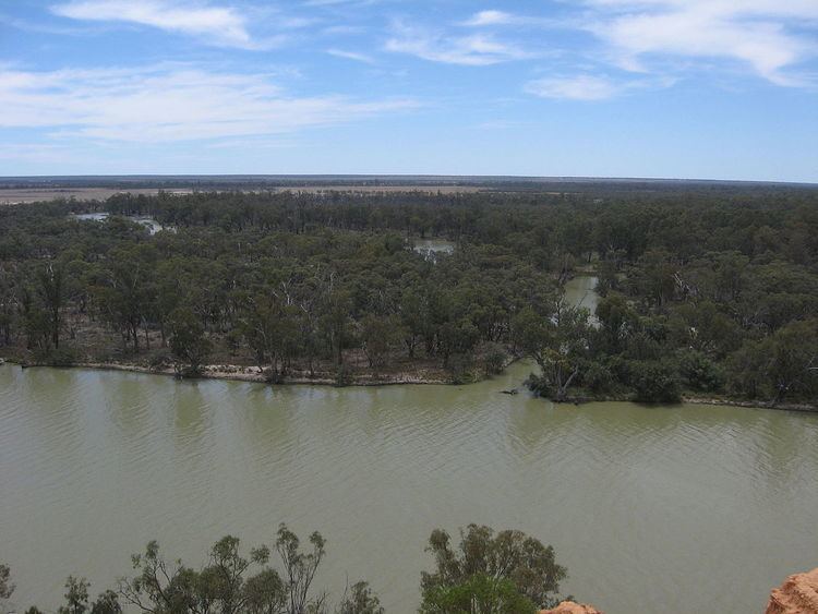 | ||
Chowilla is a locality in the Australian state of South Australia located on the northern side of the Murray River about 40 kilometres (25 mi) to the north-east of the town of Renmark and about 250 kilometres (160 mi) to the north-east of the centre of the capital city of Adelaide, and which is bounded by the border with New South Wales in the east.
Map of Chowilla SA 5341, Australia
The locality was established on 26 April 2013 in respect to “the long established local name.”
Chowilla is located within the federal Division of Barker, the state electoral district of Chaffey, the unincorporated area of South Australia and the state’s Murray and Mallee region.
The land use within Chowilla is concerned with the following protected areas, the Chowilla Game Reserve and the Chowilla Regional Reserve which have fully occupied its extent since its establishment in 2013.
There are three historic sites within Chowilla which have been listed on the South Australian Heritage Register: the Suicide Bridge (or Lunatic Bridge), including nearby remnant posts from the New South Wales-South Australia telegraph line and Littra House, both near Lake Littra, and Todd's Obelisk, near the New South Wales border.