
Elevation 1,202 m | Time zone IST (UTC+5:30) | |
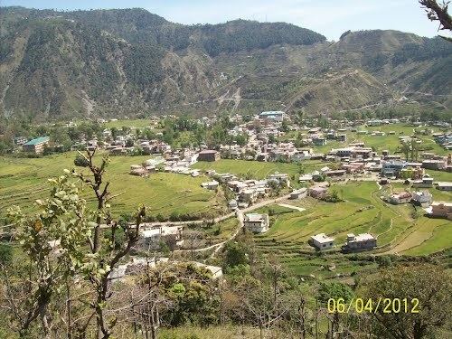 | ||
Chowari (also known as Chuari Khas or Chuāri Khās) is a town and a nagar panchayat (municipal council) in Chamba district, in the Indian state of Himachal Pradesh.
Contents
Map of Chowari, Himachal Pradesh 176302
Geography
Chowari is located at 32°26′N 76°01′E. It has an average elevation of 1,202 metres (3,944 ft).
Demographics
As of 2001 India census, Chowari had a population of 3016. Males constitute 52% of the population and females 48%. Chowari has an average literacy rate of 76%, higher than the national average of 59.5%; male literacy is 81% and female literacy is 70%. In Chowari, 12% of the population is under 6 years of age.
References
Chowari Wikipedia(Text) CC BY-SA