
Capital Choropampa Elevation 2,850 m | Region Cajamarca Founded December 12, 1991 Time zone PET (UTC-5) Area 171.6 km² | |
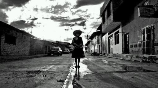 | ||
Choropampa District is one of nineteen districts of the Chota Province, Peru. It is located in the Northern Peruvian highlands and renowned for its gold reserves, with South Americas largest goldmine operations.
Map of Choropampa, Peru
An elemental mercury spill occurred in June 2000 along a road that passed through the three villages Choropampa, Magdalena and San Juan from a truck contracted by Yanacocha mining; the Compliance/Advisor Ombudsman (CAO) of the International Finance Corporation /Multilateral Investment Guarantee Agency investigated, as descrfibed in the 2006 exit report.
References
Choropampa District Wikipedia(Text) CC BY-SA