Population 107 (2011) Civil parish Chorley Local time Monday 3:09 AM | OS grid reference SJ574511 Unitary authority Dialling code 01829 | |
 | ||
Weather 4°C, Wind SW at 11 km/h, 91% Humidity | ||
Chorley is a hamlet (at SJ574511) and civil parish in the unitary authority of Cheshire East and the ceremonial county of Cheshire, England. The hamlet lies 5 miles to the west of Nantwich and 6 miles to the north east of Malpas. The total population is a little over a hundred people. Nearby villages include Faddiley, Norbury, Ravensmoor and Wrenbury.
Contents
Map of Chorley, Nantwich, UK
It should not be confused with the civil parish of Chorley near the town of Alderley Edge, also in Cheshire East.
Governance
Chorley is administered jointly with the adjacent parish of Cholmondeley by Cholmondeley & Chorley Parish Council. From 1974 the civil parish was served by Crewe and Nantwich Borough Council, which was succeeded on 1 April 2009 by the unitary authority of Cheshire East. Chorley falls in the parliamentary constituency of Eddisbury, which has been represented by Antoinette Sandbach since 2015, after being represented by Stephen O'Brien (1999–2015).
Geography and transport
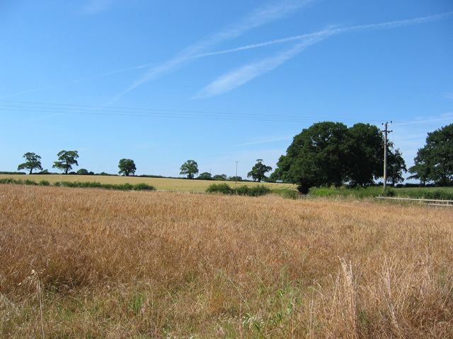
The River Weaver forms the southern boundary of the parish and part of its western boundary, and two of its tributaries run north–south through the parish. Another brook forms part of the parish's northern boundary. The terrain is gently undulating, with a high point of around 100 metres at the north-west corner of the parish and a low point of around 75 metres in the south, near Chorley Stock. The main land use is agricultural. There are multiple small meres and ponds scattered across the farmland, as well as a few small areas of woodland.
Nantwich Road runs east–west through the parish to Larden Green in the adjacent parish of Faddiley; it connects to the A49 – which runs north–south around 500 metres to the west – via Wrenbury Road near Chorley Bank. The hamlet of Chorley lies at the junction of Nantwich Road with Chorley Green Lane, which runs north west back to the A49.
Demography
According to the 2001 census, the parish had a population of 100, increasing to 107 in 42 households at the 2011 census. This represents a decline from the population of 1851; historical population figures are 126 (1801), 173 (1851), 132 (1901) and 167 (1951). The population density was 0.2 persons/hectare in 2011, well below the average of 3.2 persons/hectare for Cheshire East.
Education
As of 2016, there are no schools within the civil parish. Chorley falls within the catchment areas of Bickerton Holy Trinity CE Primary School in Bickerton for primary education and Bishop Heber High School in Malpas for secondary education.
