
Country Thailand Postal code 32180 Area 314 km² | Time zone THA (UTC+7) Geocode 3204 Province Surin Province | |
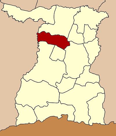 | ||
Chom Phra (Thai: จอมพระ) is a district (Amphoe) in the northern part of Surin Province, northeastern Thailand.
Contents
Map of Chom Phra District, Surin, Thailand
Geography
Neighboring districts are (from the north clockwise) Tha Tum, Sanom, Sikhoraphum, Khwao Sinarin and Mueang Surin of Surin Province, and Satuek of Buriram Province.
History
The minor district (King Amphoe) Chom Phra was established in 1959, when it was split off from Tha Tum district. On July 27 1965 it was upgraded to a full district.
Administration
The district is subdivided into 9 subdistricts (tambon), which are further subdivided into 105 villages (muban). Chom Phra is a township (thesaban tambon) which covers parts of tambon Chom Phra. There are further 9 Tambon administrative organizations (TAO).
References
Chom Phra District Wikipedia(Text) CC BY-SA