
Time zone CET (UTC+1) Population 2,450 (1999) | Canton Chomérac Area 18.94 km² Local time Monday 1:30 AM | |
 | ||
Weather 4°C, Wind SE at 6 km/h, 93% Humidity | ||
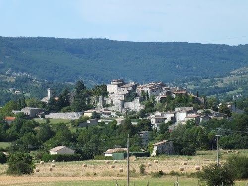
Chomérac is a commune in the Ardèche department in southern France.
Contents
Map of 07210 Chom%C3%A9rac, France
Situated approximately 8 km (5.0 mi) from Ardèche's capital, Privas, its location in the centre of the Ardèche makes it an ideal location for tourists.
Geography
Chomérac is located on the eastern foothills of the Massif Central, 10 km (6.2 mi) away from the Rhône, in the valley created by the Payre and Vérone rivers. South is the basaltic plateau of Coirons, North are the limestone hills of Grads.
History
As a natural pathway from Rhône valley to the Massif Central mountains, Chomérac has been inhabited for a very long time. As soon as Middle Paleolithic, people settle in caves. Later, Romans live in Chomérac (tegulae, villa and Roman road were found in the village).
Chomérac was severely affected by the French Wars of Religion. In 1621, the village belonged to the catholic Duke of Ventadour. Besieged, it was occupied by the Protestant Monsieur de Blacons on October 14, 1621. Alternately besieged by both parties, its occupants changed six times, till the siege of 1628, when the Catholics decisively took over the village from the Huguenots. This position was beneficial in 1629, during the siege of Privas led by the king Louis XIII and the Cardinal Richelieu.
Economy
Industry started early in Chomérac, thanks to silk manufacturers (up to 15 silk throwing mills in the 19th century) and the marble quarry, which delivers to the whole region and even abroad.