
- elevation 0 m (0 ft) | ||
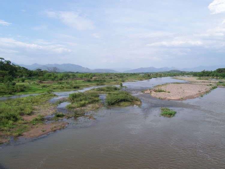 | ||
The Choluteca river basin lies on the hot and dry southern Pacific coast of Honduras, and is bordered by Nicaragua to the east. The name Choluteca, thought to mean ‘broad valley,’ originates from the indigenous Chorotega tribe who inhabited the region prior to Spanish conquest. The Choluteca river and its tributaries together form the Cabeceras catchment located in southern Honduras where it stretches over four administrative departments (Francisco Morazán, Choluteca, El Paraíso and Comayagua) covering 7,848 km2 and drains into the Pacific Ocean. The Choluteca river basin provides water to the capital city of Tegucigalpa with population around 1 million inhabitants.
Contents
- Choluteca river basin in numbers
- Legal framework
- Institutional framework
- Water related risks
- Potential climate change impacts
- References
Climatically the region is characterized by having only two seasons during the year: a rainy season lasting from May to October and a dry season from November to April with a shorter dry season lasting 2 weeks near the end of July. Efforts at improving water storage during the rainy season aim to address inadequate supplies and meet water demands during the dry season. Water shortages are one of the main challenges facing Tegucigalpa and the areas making up the Choluteca river basin. Other significant challenges include poor water quality from untreated industrial effluents and sewage discharging into the river network, and severe risk of flooding from tropical storms and hurricanes. Non-structural efforts to increase water availability include the recent (Aug. 2009) approval of a new General Water Law which, among other achievements, created a National Water Authority to oversee decentralized institutions. Following on, World Bank and Inter-American Development Bank (IDB) projects are financing efficiency improvements. The development banks are also fostering the strengthening of institutions and sectors.
Choluteca river basin in numbers
Choluteca Watershed
Source: IDB (2007)
Legal framework
Legislative decree number 218 from December 1996 established new responsibilities for the The General Directorate of Water Resources (La Dirección General de Recursos Hídricos (DGRH)) in terms of managing the financing and technical aspects of irrigation and drainage projects in Honduras. Decree 218 also made it incumbent upon DGRH to provide the theoretical framework for water use and management in agricultural activities.
Executive Decree 023 from October 1, 2002, officially declared the shortage of drinking water in Tegucigalpa as an emergency and demands on SANAA to perform all the required procedures to confront the challenge and propose solutions were made.
Institutional framework
For more on the national level framework, see: Water Resources Management in Honduras
Water related risks
As population density increases in the urban areas that the Choluteca River basin serves, excessive use and lack of treatment is expected to increase the rate of environmental degradation. Adding to the risk, untreated industrial wastewater originating in Tegucigalpa is discharged directly into the Choluteca. These problems along with sewage that drains into the Choluteca River as it crosses the city signal an urgent need for rehabilitation to mitigate some of the growing water quality risks.
Potential climate change impacts
According to the Global Climate Risk Index 4 constructed for the period between 1997 and 2006, Honduras is the most vulnerable country in the world to the potential impacts of Climate Change. A vulnerability analysis by UNEP's Global International Waters Assessment of water resources shows an overall reduction in future discharges from the Choluteca river basin. For the Choluteca River, under a scenario of a 1-2 °C temperature increase and 10-15% increase in rainfall, run-off during the rainy season will increase by 18-20%. In contrast, discharges will decrease by between 31% and 21% if there is a reduction in rainfall of 10-15% and a temperature increase of 1 °C.