
Topo map USGS Cholame Hills Country United States of America | Elevation 675 m | |
 | ||
District Monterey County, California | ||
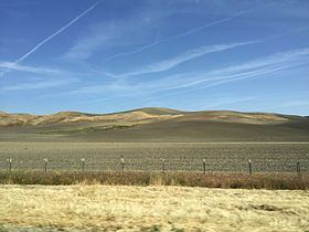
The Cholame Hills are a low mountain range, located in extreme southeastern Monterey County, California.
Map of Cholame Hills, California 93451, USA
They are a northern extension of the Temblor Range, both of the California Coast Ranges System.
To the south of the range lies CA Route 46, and the town of Cholame, California.
References
Cholame Hills Wikipedia(Text) CC BY-SA