
Country France Population (2006) 37,486 Area 5.43 km² | Region Île-de-France Time zone CET (UTC+1) Local time Monday 12:16 AM | |
 | ||
Weather 8°C, Wind W at 27 km/h, 67% Humidity Points of interest Château de Choisy, Paris Wakepark, Parc Interdépartemental des Sport, statue Rouget de Lisle | ||
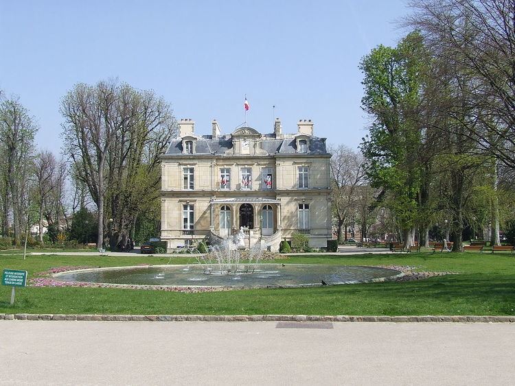
Choisy-le-Roi is a commune in the Val-de-Marne department in the southeastern suburbs of Paris, France.
Contents
- Map of Choisy le Roi France
- Geography
- Transport
- Education
- Personalities
- International relations
- References
Map of Choisy-le-Roi, France
Geography
Choisy-le-Roi is located 10.7 km (6.6 mi) southeast from the center of Paris, on both banks of the river Seine. The neighbouring communes are, from the north and clockwise: Vitry-sur-Seine, Alfortville, Créteil, Valenton, Villeneuve-Saint-Georges, Orly and Thiais.
Transport
Choisy-le-Roi is served by Choisy-le-Roi station on Paris RER line C. It is also served by Créteil-Pompadour station on Paris RER line D.
Education
Public schools include:
There is a private school serving elementary to senior high school, groupe scolaire Saint André Choisy-le-Roi.
Personalities
International relations
Choisy-le-Roi is twinned with:
References
Choisy-le-Roi Wikipedia(Text) CC BY-SA