
Country Thailand Tambon 3 Amphoe established 1993 Area 162.7 km² Province Narathiwat Province | Seat Chuap Muban 33 Time zone THA (UTC+7) Population 39,236 (2014) | |
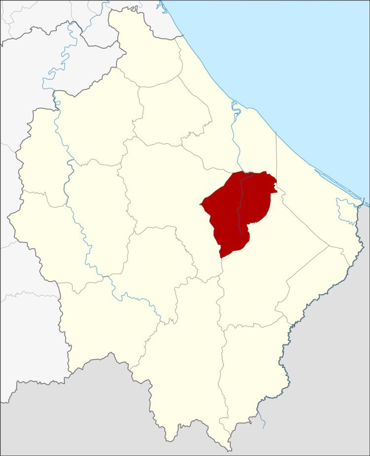 | ||
Cho-airong (Thai: เจาะไอร้อง) is a district (amphoe) of Narathiwat Province, southern Thailand.
Contents
- Map of Cho airong District Narathiwat Thailand
- History
- Geography
- Central administration
- Local administration
- References
Map of Cho-airong District, Narathiwat, Thailand
History
Cho-aiong was made a minor district (King Amphoe) on May 31, 1993, by separating three tambon from Ra-ngae district. On December 5, 1996 it was upgraded to a full district.
Geography
Neighboring districts are (from the north clockwise) Mueang Narathiwat, Tak Bai, Su-ngai Padi and Ra-ngae.
Central administration
The district Cho-airong is subdivided into 3 subdistricts (Tambon), which are further subdivided into 33 administrative villages (Muban).
Local administration
There are 3 subdistrict administrative organizations (SAO) in the district:
References
Cho-airong District Wikipedia(Text) CC BY-SA