
Elevation 5,420 m | Range Himalayas | |
 | ||
Location Solukhumbu District, Nepal | ||
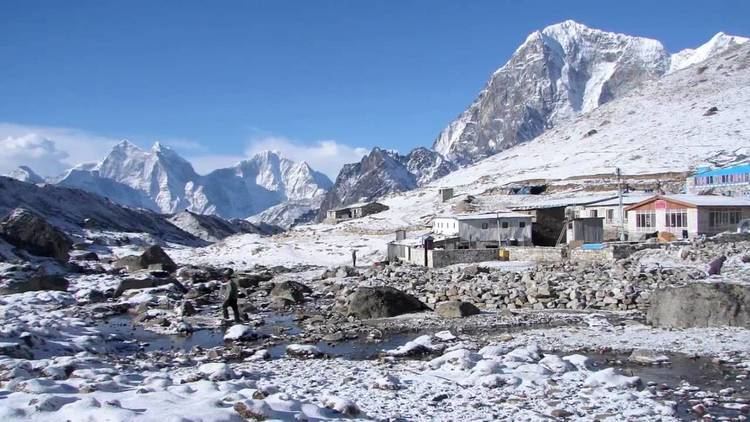
Cho La is a summit pass located 5,420 metres (17,782 ft) above sea level in the Solukhumbu District in northeastern Nepal. It connects the village of Dzongla (4,830 metres (15,850 ft)) to the east and the village of Thagnak (4,700 metres (15,400 ft)) to the west.
Tourism
The pass is on the Gokyo trail in the Khumbu Everest region. To the west the trail continues to the Gokyo Lakes, crossing the Ngozumpa glacier on the way. To the east the trail joins the Everest Base Camp trek.
The pass can be physically demanding and may require crampons on top of the slippery glacier. The edge of the glacier is unstable.
References
Cho La, Nepal Wikipedia(Text) CC BY-SA