
Demonym(s) Chiusanesi Area 24.56 km² Dialling code 0825 | Elevation 700 m (2,300 ft) Time zone CET (UTC+1) Local time Sunday 7:03 PM Postal code 83040 | |
 | ||
Weather 7°C, Wind SW at 16 km/h, 90% Humidity | ||
Harlem shake pasquale a chiusano di san domenico
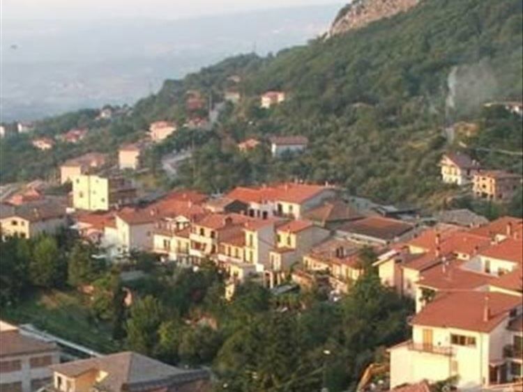
Chiusano di San Domenico is a town and comune in the province of Avellino, Campania, southern Italy. Situated at 750 metres (2,460 ft) above sea level, Chiusano is on the western slope of Mount Tuoro.
Contents
- Harlem shake pasquale a chiusano di san domenico
- Map of 83040 Chiusano di San Domenico Province of Avellino Italy
- Chiusano di san domenico
- History
- Main sights
- References
Map of 83040 Chiusano di San Domenico, Province of Avellino, Italy
Chiusano di san domenico
History
Residence in Chiusano can be traced to the times of Ancient Rome based on the discovery of coins, pottery, and tombs. During the 11th century the Lombards ruled the area and life in Chiusano centered on a castle that was constructed on nearby Mount Dominic.
Main sights
Chiusano is home to multiple buildings of religious, historical, and architectural significance including the Church of Santa Maria degli Angeli (1710), the Confraternity of the Blessed Sacrament of the Rosary (1712), and the Hermitage of Santa Maria Valley (1230).
References
Chiusano di San Domenico Wikipedia(Text) CC BY-SA