Telephone code 0484 Area 9.46 km² Area code 0484 | Time zone IST (UTC+5:30) Vehicle registration KL-42 Local time Sunday 11:09 PM | |
 | ||
Weather 28°C, Wind SW at 3 km/h, 82% Humidity | ||
Chittattukara is a census town and panchayat in Paravur Taluk of Ernakulam District, Kerala. The NH 17 connecting Paravur and Chavakkad passes through this village. Paravur town is situated close to this village, just 2 km. The most ancient navigational port and trade centre Muziris is located at Pattanam, a small area in this village. Many historic monuments were founded out from this area.
Contents
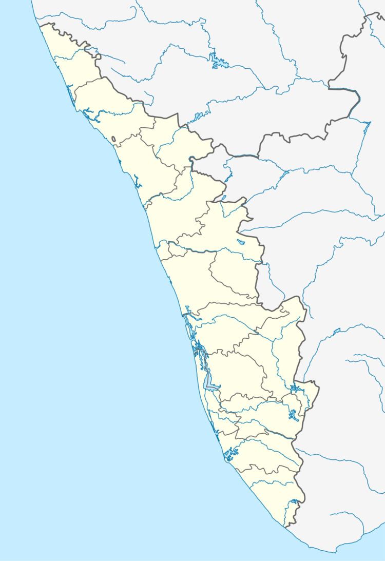
Map of Chittattukara, Kerala
History
Muziris the ancient seaport of Medieval India is situated in this Panchayat. Chittattukara was carved out from Vadakkekara village union. The panchayat was full of lush green trees and canals. People settled here according to the caste hirearchy. The people lived here were toddy tappers and coir makers.
Religion
Temples
Mosques
Major Roads
Education
References
Chittatukara Wikipedia(Text) CC BY-SA
