
Urban-type settlements 3 Area 15,708 km² | Cities/towns 1 Rural localities 55 | |
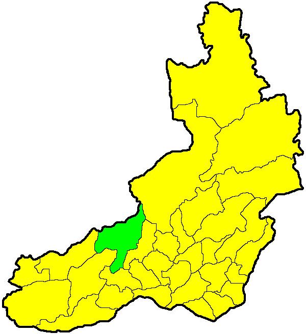 | ||
Chitinsky District (Russian: Чити́нский райо́н) is an administrative district (raion), one of the thirty-one in Zabaykalsky Krai, Russia. It is located in the west of the krai, and borders with Karymsky District in the east, Duldurginsky District in the south, and with Khiloksky District in the west. The area of the district is 16,100 square kilometers (6,200 sq mi). Its administrative center is the city of Chita. Population (excluding the administrative center): 64,642 (2010 Census); 62,221 (2002 Census); 62,366 (1989 Census).
Contents
Map of Chitinskiy r-n, Zabaykalsky Krai, Russia
History
The district was established on September 26, 1937.
Administrative and municipal status
Within the framework of administrative divisions, Chitinsky District is one of the thirty-one in the krai. The city of Chita serves as its administrative center.
As a municipal division, the territory of the district is split between two municipal formations—Chitinsky Municipal District, to which three urban-type settlements and fifty-four of the administrative district's rural localities belong, and Chita Urban Okrug, which covers the rest of the administrative district's territory, including the city of Chita and the remaining rural locality.