
Population 2,802 Sovereign state United Kingdom Local time Sunday 4:52 PM Dialling code 01727 | OS grid reference TL135045 Post town ST ALBANS | |
 | ||
Weather 7°C, Wind SW at 21 km/h, 78% Humidity | ||
Chiswell Green is an area, originally a village, to the south of St Albans, in the parish of St Stephen and district of City of St Albans in Hertfordshire. It has a population of approximately 2,800. At the 2011 Census the population was included in the civil parish of St. Stephen.
Contents
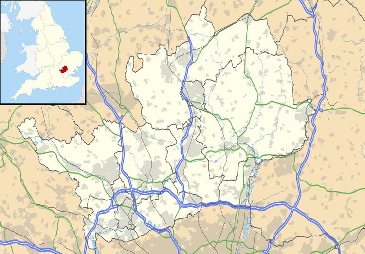
Map of Chiswell Green, St Albans, UK
It is located on the North Orbital Road, close to Junction 21A of the M25, and is separated from St Albans by the A414.
To the south east of Chiswell Green is Park Street, and to the south, Bricket Wood.
There is one pub in Chiswell Green, The Three Hammers. There is one school in West Avenue: Killigrew Primary and Nursery School. This was formed by the amalgamation of two separate schools - Infant and Junior.
Originally positioned on Old Watford Road around The Three Hammers public house, Chiswell Green was much extended between the wars and shortly afterwards. It now is a medium-sized suburb.
Locality
Nearby places outside the district include Hatfield to the east, Welwyn Garden City to the northeast, Luton and Dunstable to the northwest, Hemel Hempstead to the west, Watford to the southwest and Borehamwood to the south.
Royal National Rose Society Gardens
The Royal National Rose Society Gardens (formerly the Gardens of the Rose) are the headquarters of The Royal National Rose Society located at Chiswell Green. The gardens contain thousands of rose varieties and are normally open to the public. They were closed for four years while the landscape gardener Michael Balston remodelled them. They reopened in June 2007.