Country Canada Census division 17 Postal code T0G 0N0 Area 2.84 km² | Time zone MST (UTC−7) Elevation 622 m Population 20 (2011) Area code 780 | |
 | ||
Municipal district M.D. of Lesser Slave River No. 124 | ||
Chisholm, also known as Chisholm Mills, is a hamlet in Alberta, Canada, within the Municipal District of Lesser Slave River No. 124. It is located 1 kilometre (0.62 mi) east of the Athabasca River, approximately 56 kilometres (35 mi) southeast of the Town of Slave Lake. The hamlet is served by both road (approximately 8.5 kilometres (5.3 mi) west of Highway 44) and rail (Canadian National Railway).
Contents
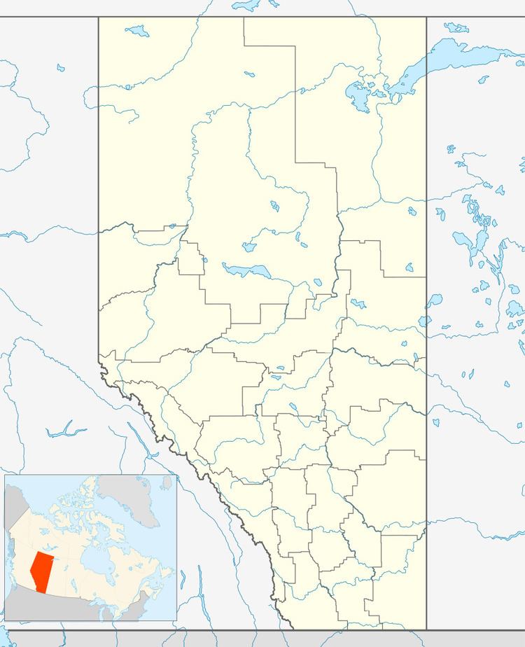
Map of Chisholm, AB, Canada
History
The community has the name of Thomas Chrisholm, an early settler.
During World War II, there was a camp for German prisoners, Camp Chisholm.
2001 Chisholm wildfire
In the summer of 2001, a major forest fire destroyed ten houses within the hamlet and 120,000 hectares of timber in the surrounding area. An investigation conducted by the Province of Alberta alleged that the fire was caused by a CNR train.
Demographics
As a designated place in the 2016 Census of Population conducted by Statistics Canada, Chisholm recorded a population of 25 living in 10 of its 18 total private dwellings, a change of 7001667000000000000♠66.7% from its 2011 population of 15. With a land area of 2.92 km2 (1.13 sq mi), it had a population density of 8.6/km2 (22.2/sq mi) in 2016.
As a designated place in the 2011 Census, Chisholm had a population of 15 living in 7 of its 8 total dwellings, a -25% change from its 2006 population of 20. With a land area of 2.84 km2 (1.10 sq mi), it had a population density of 5.28/km2 (13.7/sq mi) in 2011.
