
Postcode(s) 3525 Postal code 3525 | ||
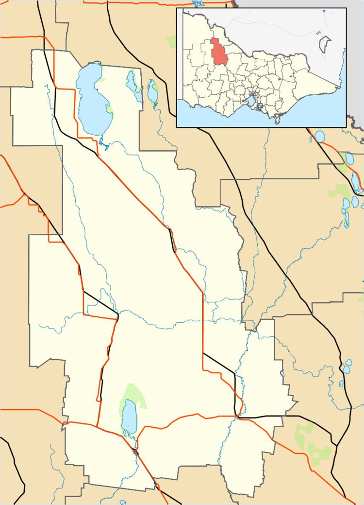 | ||
Location 244 km (152 mi) NW of Melbourne120 km (75 mi) SW of Bendigo12 km (7 mi) SW of Wycheproof | ||
Chirrip is a locality in the Mount Jeffcott ward of the local government area of the Shire of Buloke, Victoria, Australia.
Map of Chirrip VIC 3525, Australia
The post office there opened as 'Chirrup' [sic] on 6 December 1890, and was closed on 29 February 1964.
References
Chirrip, Victoria Wikipedia(Text) CC BY-SA