Population 9,092 (2006 census) LGA(s) Shire of Yarra Ranges Postal code 3116 | Postcode(s) 3116 Area 32.1 km² Local time Monday 3:02 AM | |
 | ||
Weather 17°C, Wind S at 16 km/h, 83% Humidity | ||
Greythorn court chirnside park victoria
Chirnside Park is a suburb in Melbourne, Victoria, Australia, 33 km north-east from Melbourne's central business district. Its local government area is the Shire of Yarra Ranges. At the 2006 Census, Chirnside Park had a population of 9092.
Contents
- Greythorn court chirnside park victoria
- Map of Chirnside Park VIC 3116 Australia
- Brief history
- Chirnside Park today
- Chirnside Park Shopping Centre
- Schools
- Sport
- References
Map of Chirnside Park VIC 3116, Australia
Brief history
From 1838 the area formed part of an extensive grazing grant that was developed further by a succession of owners up until the 1920s. The original sub-division of Chirnside Park was, at that time, known as Mooroolbark Park. Around 1000 acres (4 km²) of mainly rich black basaltic soil was grazed and cultivated, watered from two perpetual springs.
In 1921 George Chirnside sold Werribee Park, moving the family's stud herds and the contents of Werribee Mansion to Mooroolbark Park. After George Chirnside's death in 1941, permission to sell the estate was given in 1950 and finalised some years later. Subdivision was approved by the then Shire of Lillydale in 1956 with the residential area, centred on the two storey stone homestead, country club and golf course, named Chirnside Park in 1962 in honour of Thomas Chirnside, who founded the Chirnside empire in 1839.
Amadeo DeVincentiis, an Italian from Abruzzo, also owned great swathes of what is now known as Chirnside Park. However, he sold it for a paltry amount in the 1960s, and within years the fortunate purchasers stood to make thousands. Amadeo attempted to rescind the sale, spending thousands, but failed.
Formally West Lilydale, the surrounding region became known as Chirnside Park in the 1970s, the Post Office opening on 25 September 1979.
Chirnside Park today
Nominally a suburb, Chirnside Park is a satellite community of Lilydale. Thus the services that cannot be met in the nearby shopping complex are found elsewhere. The residential area was originally structured around the large 18-hole golf course, although this has now been closed and a new estate known as Cloverlea has commenced construction, with dwellings on the North Eastern corner now completed. Further residential development exists to the west and north. Some new medical facilities have arrived recently. Chirnside Park Family Clinic is one of them.
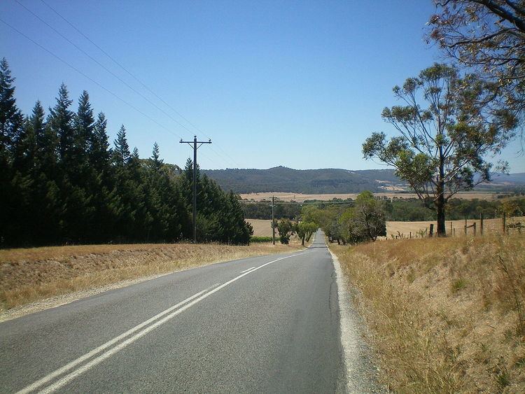
In area, however, most of the 'suburb' still retains a rural flavour, extending well into the Yarra Valley to the north, with commercial wineries, orchards and livestock farming, as well as large area residential estates. The Heritage Golf and Country Club, designed by Jack Nicklaus, also nestles in the northwest corner of the suburb directly on the Yarra River.
Chirnside Park Shopping Centre
Chirnside Park Shopping Centre
Schools
Private Schools:
Oxley College (Chirnside Park).
Most Private Schools offer P-12 education.
Government Schools
Chirnside Park Primary School
Sport
The suburb has an Australian Rules football team, The Chirnside Park Panthers, competing in the Eastern Football League.
Tennis and Lawn Bowls are on offer at the Chirnside Park Country Club on Kingswood Drive
Chirnside Park is also the home of the St Edmunds Basketball Club, one of Australia's largest basketball clubs, based out of the Oxley Stadium, competing in the Kilsyth & Mountain District Basketball Association.
