
Established late 19th century Area code(s) 031 Elevation 438 m Population 26,129 (2002) | District Chiredzi Time zone CAT (UTC+2) Climate BSh Local time Sunday 5:46 PM | |
 | ||
Weather 28°C, Wind E at 10 km/h, 76% Humidity | ||
Chiredzi sugar processing plant and farm trip
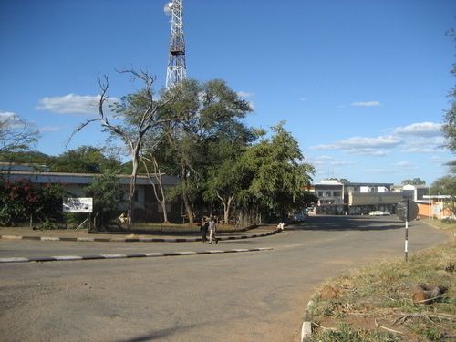
Chiredzi is a small town in Masvingo province in south-east Zimbabwe.
Contents
- Chiredzi sugar processing plant and farm trip
- Map of Chiredzi Zimbabwe
- Crossing the lundi river outside of chiredzi zimbabwe
- Background
- Population
- References
Map of Chiredzi, Zimbabwe
Crossing the lundi river outside of chiredzi zimbabwe
Background
Chiredzi is a town in the Masvingo Province of Zimbabwe, near the Runde River. It is the administrative center for Chiredzi District and it is where both the rural and district councils are based.
It is served by a small international airport at Buffalo Range called Buffalo Range Airport (BFO). The non-profit organization the Elias Fund has its Zimbabwean base of operations in Chiredzi. The Mashoko/Hippo Valley Christian Mission also had headquarters in Chiredzi, from which it oversees two orphanages and a number of schools and churches throughout the province.
It is the home of the Gona Rezhoe National Park with Malilangwe. The two have bedn visited by celebrities ant support tourism. They enclose the beautiful wildlife consisting of carnivores,herbivores and omnivorous animals.
It is also where the Hippo Valley Estates is located with its A school and private school Hippo Valley Primary school. South Eastern College is also located in Chiredzi and serves as the only A rated private High school in the area. It recieved alot of awards due to the high pass rates- www.secnet.co.zw is the website.
Population
The census of 2002 recorded the population of the town at 26,129. Hippo Valley Hospital, found in the district, is one of a numbers of center for HIV/AIDS treatment in the province.