
Country India Headquarters Kajalgaon Lok sabha constituency Kokrajhar | State Assam Website Official website University Bongaigaon College | |
 | ||
5 killed in fresh violence in chirang district in lower assam
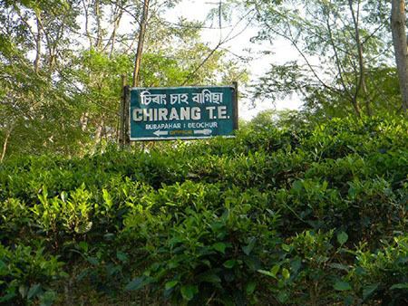
Chirang (pron: ˌʧɪˈrɑ:ŋ/ˌʧɪˈræŋ) district (Template:Bodo: सिरां जिल्ला) (Assamese: চিৰাং জিলা) is one of the 27 districts of Assam state in north-eastern India.
Contents
- 5 killed in fresh violence in chirang district in lower assam
- Map of Chirang Assam
- Assam s chirang district tense again memories of 2012 communal violence linger
- History
- National protected area
- Flora and fauna
- Demographics
- References
Map of Chirang, Assam
As of 2011 it is the second least populous district in the state, after Dima Hasao Chirang district has generally three blocks:
- Borobajar
- Manikpur and
- Sidli-Chirang.
The major tourist places are Laoti, Hagrama Bridge, Ai Rever Bengtol, Datgari (Bhutan Border). The main inhabitants of this region is Boro people, Other small community like Assamese, Muslim, Rabha, Santali, Kuki, Rajbangsi, Bengali, Bihari, and other communities are also surviving there.
Assam s chirang district tense again memories of 2012 communal violence linger
History
It is a relatively new district in the BTC area of the state. Chirang district has been carved out from Bongaigaon district in 2004. The word "Chirang" has derived from Garo word -"Chi" means Water and "Rang" means wealth. It may also be a copy of tsirang district of neighbouring Bhutan. On the other hand, Most of the people regarded the word Chirang is derived from the Bodo word Chirang or Sirang. Si means life and Rang means Money. Sirang was an area which is covered by valuable soil, plants, tress, flora and fauna or the things which are necessary for human life. Thus it is a place which is important for human life or the place which is just like money or valuable for life and is later come to know Si + Rang = sirang. After the Non-native Bodo speakers articulated to Chirang from Sirang. And thus the word Sirang is latter known as Chirang.
National protected area
Flora and fauna
In 1990 Chirang district became home to Manas National Park, which has an area of 500 km2 (193.1 sq mi). It shares the park with four other districts.
Demographics
According to the 2011 census Chirang district has a population of 481,818, roughly equal to the nation of Suriname. This gives it a ranking of 547th in India (out of a total of 640). The district has a population density of 244 inhabitants per square kilometre (630/sq mi) . Its population growth rate over the decade 2001-2011 was 11.26%. Chirang has a sex ratio of 969 females for every 1000 males, and a literacy rate of 64.71%.