
 | ||
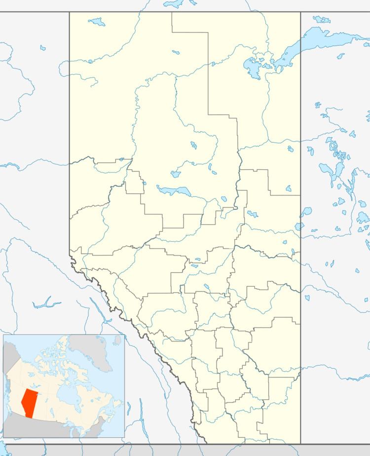
Chipewyan Lake is an unincorporated community in northern Alberta within the Municipal District of Opportunity No. 17. It is located on the southern shore of Chipewyan Lake approximately 110 kilometres (68 mi) north of Wabasca and 128 kilometres (80 mi) west of Fort McMurray. The community is not accessible by Alberta's provincial highway system.It is however accessible by using the Laricina Energy/Shell Canada S-4 access road.
Contents
Map of Chipewyan Lake, AB, Canada
Demographics
As a designated place in the 2016 Census of Population conducted by Statistics Canada, Chipewyan Lake recorded a population of 0 living in 2 of its 6 total private dwellings, a change of 2997900000000000000♠−100% from its 2011 population of 38. With a land area of 2.39 km2 (0.92 sq mi), it had a population density of 0.0/km2 (0.0/sq mi) in 2016.
As a designated place in the 2011 Census, Chipewyan Lake had a population of 38 living in 16 of its 35 total dwellings, a -54.2% change from its 2006 population of 83. With a land area of 2.3 km2 (0.89 sq mi), it had a population density of 16.5/km2 (42.8/sq mi) in 2011.