
1793–1997 → → 1901 1,312,122 | Collectorates merged into a single district 1793 | |
 | ||
Capital Karunguzhi (1793 - 1825) and (1835 - 1859), Kanchipuram (1825 - 1835), Saidapet (1859 - 1947), Chingleput (1947-1997) 1901 7,974.5 km (3,079 sq mi) | ||
Chingleput district was a district in the Madras Presidency of British India. It covered the area of the present-day districts of Kanchipuram and Tiruvallur and parts of Chennai city. It was sub-divided into six taluks with a total area of 7,970 square kilometres (3,079 sq mi). The first capital was the town of Karunguzhi, with an interruption between 1825 and 1835, administrative headquarters were transferred to Kanchipuram. In 1859 the capital Saidapet, now a neighbourhood in the city of Chennai, was made the administrative headquarters of the district.
Contents
History
Excavations made by Robert Bruce Foote indicate that the region was inhabited in the Stone age. During the first millennium B. C., Chingleput district might have been a part of the Andhra Kingdom. The Pallavas with their capital at Kanchi came to power in about 500 A. D. When the Pallava kingdom began to decline, the region was conquered by the Western Gangas in about 760 A. D. Chingleput was ruled by the Rashtrakutas, Cholas and the Kakatiyas of Warangal until the 13th century AD when it fell to the Delhi Sultanate. Chingleput area was conquered by the Vijayanagar Empire which ruled the region from 1393 till 1565 and from 1565 till 1640 as the kingdom of Chandragiri.
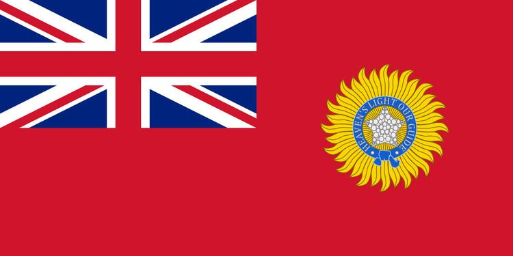
The area was annexed by the Mughals in 1687 and was later conquered by the Nawab of the Carnatic. In 1763, Chingleput was ceded to the British East India Company by Mohammad Ali, the then Nawab of the Carnatic. It was the site of the Carnatic Wars and was frequently taken by Tipu Sultan during the last years of the 18th century. In 1801, the Nawab of the Carnatic, finally, relinquished complete sovereignty over the region to the British East India Company.
After the independence of India, the district became part in 1950 of the newly named Madras State. As a result of the 1956 States Reorganisation Act, the state's boundaries were re-organised following linguistic lines. Madras State was finally renamed Tamil Nadu on 14 January 1969.
Taluks
Chingleput district was made of eight taluks:
Administration
The district was sub-divided into three sub-divisions each under the charge of a Deputy Collector:
As of 1901, the district had two municipalities Conjeevaram and Chingleput.
Demographics
As of 1901, Chingleput had a total population of 1,312,222. 96 percent of the population were Hindus while the rest where Christians and Muslims. About three-fourths of the people spoke Tamil as their mother tongue the remainder spoke Telugu. Due to its proximity to Madras city, there were also large numbers of Europeans in the district.