
 | ||
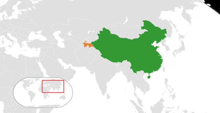
The border between China and Tajikistan is the line of 414 km long, north-south, which separates the east of Tajikistan (province of Gorno-Badakhshan) the territory of the China (province of Xinjiang) To the north there is the triple border China - Tajikistan - Kyrgyzstan and southern triple point is the two countries with the narrow corridor of the province Badakhshan - Afghanistan.
Contents
History
Tajikistan was annexed to the Russian Empire in 1868. Between 1917 and 1921 the Tajiks fought against the Red Army, but the country was annexed to the USSR in 1929. This border was only a part of the long border between China and the Soviet Union, which stretched from Afghanistan to Mongolia. Tajikistan gained independence in 1991 with the dissolution of the Soviet Union. Since then this serves as the official border of the independent Tajikistan and the People's Republic of China.
In 2011, Tajikistan ratified a 1999 deal to cede 1,000 km2 (390 sq mi) of land in the Pamir Mountains to the People's Republic of China, ending a 130-year dispute, and the relinquishing of China's claims to over 28,000 km2 (11,000 sq mi) of Tajikistani territory.
Border crossings
Kulma Pass is the only modern day border crossing between China and Tajikistan. Historically, two passes further south, Beyik Pass and Nezatash Pass, have also been traversed.