
Local time Sunday 11:46 AM | Zone Dhaulagiri Zone Time zone Nepal Time (UTC+5:45) Population 1,456 (1991) | |
 | ||
Weather 9°C, Wind S at 8 km/h, 42% Humidity | ||
Chimkhola (Nepali: चीमखोला) is a village in Myagdi District in the Dhaulagiri Zone of western-central Nepal. At the time of the 1991 Nepal census it had a population of 1456 people living in 270 individual households.
Contents
- Map of Chimkhola Nepal
- History
- Relative Maps
- Glimpse of Chimkhola
- Puja and Religion in Chimkhola
- Wireless Network in Chimkhola
- References
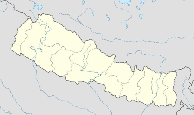
Map of Chimkhola, Nepal
Shir Gaun, was the name of present Chimkhola because there was no habitation till the foot of Mount Dhaulagiri and as, Shir refers to the starting so was called Shir Gaun. Then the area had a huge forest and a river (now Bagarkhola) flowed in the middle of the forest. The forest was so dense that even in daylight the area was "Chim" (Dark) and as there was "Khola" river so people who came here started calling it Chimkhola. And people started living in the north MANGALEKHANE and was no longer the shir gaun so the name CHIMKHOLA became its name.
With 8925 hectares, 77% of land covered with river and forest whereas remaining part cultivated Chimkhola has its own importance in the hills of Myagdi District. Gaun at the heart of sloppy mountain beneath the shady Raniban where Ghoral, Ratuwa and many birds share common habitat has a beautiful and calm morning, fabulous successful day and safe secure night. It shares its border with Bega in the east, Darmija in the south, Pakhapani in the west and Mangale in the north.
History
The history of this place is hidden and difficult to encrypt as the written chronological are not found. How the human settlement began in this place is only a verbal tradition as told by the ancestors to their descendants. Makhan Thane Pun settled first in Chimkhola. Slowly people came from neighboring villages and now is inhabited by Magar Tribe, Pun clans and castes of Thane, Pahare, Thapa(Garbuja), Tilija, Paija, Purja, Buddhathoki, Phagami, Chochangi, Buduja and other clans of Roka, Thakuri, Sarki, Kami/ BK, Darji etc.
Relative Maps
The map is a marvelous show piece representing a tick mark and the inhabitance is only in the lower head of the map whereas the remaining area is covered with the dense forest. The northern part is attached with Mustang -the sacred place for MUKTINATH, the eastern part is connected with Dana, Dowa and Begkhola whereas the south share border with Beghkhola and Dagnam, Darmija and on the west lies Kuinemangale.
Glimpse of Chimkhola
At the lap of a mountain Chimkhola has its own importance in the region for as MANDALI THAN, JAJARAKOT KO SIDDHA and others. It has nine wards:
Puja and Religion in Chimkhola
People celebrate various Puja. Some of the most celebrated festivals in Chimkhola are listed below:
- Bhume Mela:
This festival (puja) falls in Chaitra (March/April) month of every year. This is one of the greatest festivals in Chimkhola. Mr Dharme Thane Pun (nickname - Nepale) was the first person to initiate (create) the Than to worship. Now Nepale santan (family) of Bhedagoth khalak is responsible to look after of this than.
- Mandali Puja
- Mallika Puja
Wireless Network in Chimkhola
Currently this remote village, has a Wireless Networking connected but could not run smoothly due to poor signals. This project was scheduled by Chimkholes and the man behind the success is Mahabir Pun.