
OS grid reference TR2753 Local time Sunday 4:34 AM | Sovereign state United Kingdom Postcode district CT15 4 | |
 | ||
Weather 6°C, Wind SW at 23 km/h, 83% Humidity | ||
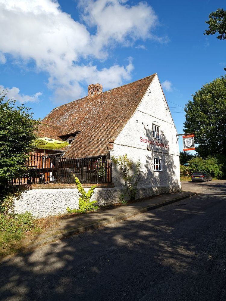
Chillenden is a village in East Kent, England, between Canterbury and Deal, and is in the civil parish of Goodnestone.
Map of Chillenden, Canterbury, UK
In the Domesday Book of 1086, Chillenden was recorded as 'Cilledene'. The parish in 1800 was made up of 160 acres (65 ha), containing three farms: one belonging to a Mr. Hammond, the other two to Sir Brook Bridges. A pedlary fair was held here on Whit Monday.
The church, is dedicated to All Saints, in the priory of Ledes after being given to it by William of Norwich. The incumbency included three acres of glebe.
Chillenden was home to the families of Thomas Chillenden and William Chillenden, as indicated by their surnames.
References
Chillenden Wikipedia(Text) CC BY-SA