
- elevation 2,001 ft (610 m) Country United States of America | - elevation 850 ft (259 m) | |
 | ||
- location 46 miles (74 km) northwest of Nondalton | ||
The Chilikadrotna River is a 55-mile (89 km) tributary of the Mulchatna River in the U.S. state of Alaska. It begins in Lake Clark National Park and Preserve in northern Lake and Peninsula Borough and flows westward into the larger river 46 miles (74 km) northwest of Nondalton.
Contents
Map of Chilikadrotna River, Alaska, USA
In 1980, the upper 11 miles (18 km) of the river became part of the National Wild and Scenic Rivers System. This segment, rated "wild", lies within the national park.
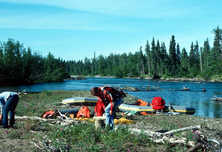
Recreation
During the months from June to September, the river is generally floatable in 10-to-13-foot (3 to 4 m) rafts or in kayaks by boaters with the necessary skills. Much of the Chilikadrotna River is rated Class II (medium) on the International Scale of River Difficulty, though a stretch about 5 miles (8 km) below the confluence with the Little Mulchatna River is rated Class III (difficult). The river also includes some Class I (easy) water. Dangers include overhanging vegetation, logjams, swift current, and a narrow winding course.
Floatfishing is popular on this river, although Alaska Fishing warns that this is "not a river for inexperienced boaters." There are no formal campgrounds or other accommodations along the river. Game fish on the Chilikadrotna include silver salmon, Arctic grayling, char, rainbow trout, and lake trout.