
Time zone CST (UTC-6) Area 97.88 km² Population 657 (2010) | Established November 6, 1849 Elevation 207 m Local time Saturday 10:16 PM | |
 | ||
ZIP codes 62313, 62316, 62321, 62367, 62380 Weather 11°C, Wind SE at 14 km/h, 48% Humidity | ||
Chili Township is one of twenty-five townships in Hancock County, in the U.S. state of Illinois. As of the 2010 census, its population was 657 and it contained 284 housing units.
Contents
- Map of Chili Township IL USA
- Geography
- Cities towns villages
- Unincorporated towns
- Cemeteries
- Major highways
- Airports and landing strips
- School districts
- Political districts
- References
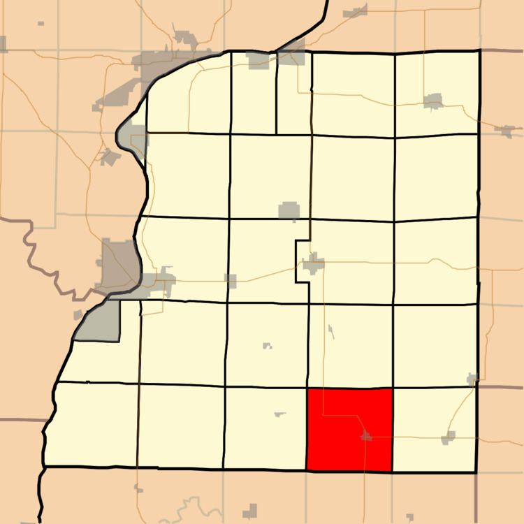
Map of Chili Township, IL, USA
Geography
According to the 2010 census, the township has a total area of 37.79 square miles (97.9 km2), of which 37.77 square miles (97.8 km2) (or 99.95%) is land and 0.03 square miles (0.078 km2) (or 0.08%) is water.
Cities, towns, villages
Unincorporated towns
(This list is based on USGS data and may include former settlements.)
Cemeteries
The township contains these five cemeteries: Bowen, Chili, Forsyth, Old Sixteen and Payne.
Major highways
Airports and landing strips
School districts
Political districts
References
Chili Township, Hancock County, Illinois Wikipedia(Text) CC BY-SA