
 | ||
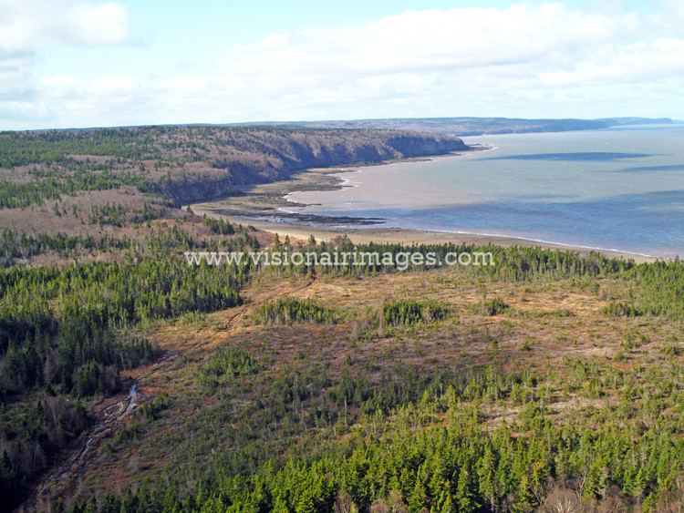
Chignecto Bay is an inlet of the Bay of Fundy located between the Canadian provinces of New Brunswick and Nova Scotia and separated from the waters of the Northumberland Strait by the Isthmus of Chignecto. It is a unit within the greater Gulf of Maine Watershed. Chignecto Bay forms the northeastern part of the Bay of Fundy which splits at Cape Chignecto and is delineated on the New Brunswick side by Martin Head.
At its head, Chignecto Bay itself subdivides into two basins, separated by Cape Maringouin:
Many small named bays line the Bay's coast including Salisbury Bay at the mouths of the Upper Salmon River and Cleveland Brook, site of the Village of Alma, NB.
Chignecto Bay is a northern extension of a rift valley that forms much of the Bay of Fundy.
The name "Chignecto" derives from the Mi'kmaw name Siknikt, meaning "drainage place", the name of the Mi'kmaq District in which the bay is located.
Shorebird wildlife areasEdit
The head of Cumberland Basin is an important migrating area for many shorebirds. A large portion of it is protected as a wildlife sanctuary known as the Chignecto National Wildlife Area. It includes the 10.2 km² John Lusby National Wildlife Area, which is recognized as a Ramsar Wetland of International Importance since October 1985.