
Country Thailand Time zone ICT (UTC+7) Geocode 4518 Population 27,859 (2005) | Seat Phra That Postal code 45000 Area 127.2 km² Province Roi Et Province | |
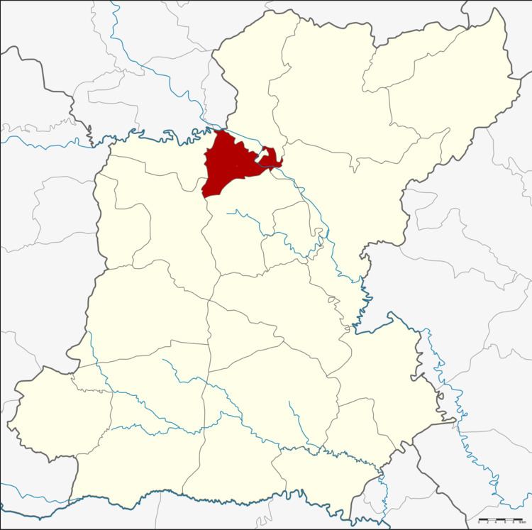 | ||
Chiang Khwan (Thai: เชียงขวัญ) is a district (amphoe) of Roi Et Province, Thailand.
Contents
Map of Chiang Khwan District, Roi Et, Thailand
Geography
Neighboring districts are (from the north clockwise) Pho Chai, Selaphum, Thawat Buri, Mueang Roi Et and Changhan of Roi Et Province, and Rong Kham of Kalasin Province.
History
The minor district (king amphoe) was created on 30 April 1994, when six tambon were split off from Thawat Buri District.
The Thai government on 15 May 2007 upgraded all 81 minor districts to full districts. With publication in the Royal Gazette on 24 August, the upgrade became official.
Administration
The district is divided into six sub-districts (tambon), which are further subdivided into 66 villages (muban). There are no municipal (thesaban) areas, and six tambon administrative organization (TAO).
References
Chiang Khwan District Wikipedia(Text) CC BY-SA